
Kedarkantha Trek

Sankri, Uttarkashi, Uttarakhand

OpenMedium Verified sources 4.7(1284 reviews)

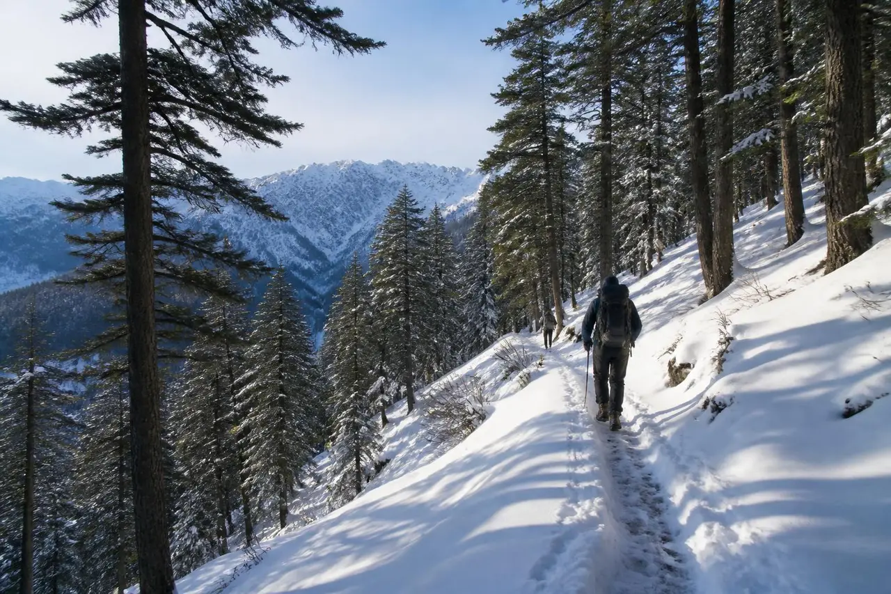
India's most popular winter summit trek — deep pine forest, open clearings and a short snow summit push with 360° Himalayan views.

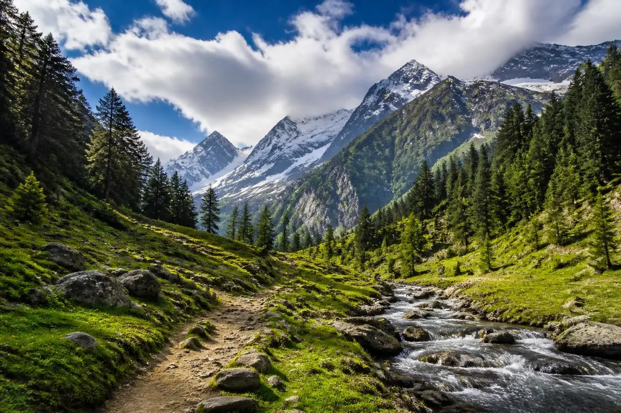
Kedarkantha Trek trail landscape
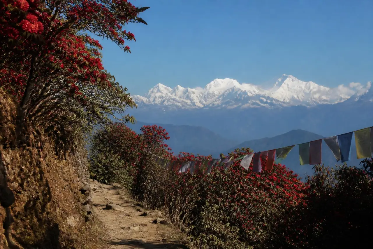
Kedarkantha Trek photograph 2Kedarkantha Trek photograph 3

The numbers

Distance

20 km

Duration

4 days

Elevation gain

1300 m

Max altitude

3810 m

Trail type

Multi-day

Best season

December to April (snow); September to November (clear)

Route map

Tentative point-to-point route · not survey-grade
Start: Sankri village forest check postRoute type: Multi-day20 km · +1300 m · 4 days

What the difficulty actually means

Long uphill days on snow, but no technical climbing. If you can walk 6 km uphill without stopping repeatedly, you can finish this with a guide.

Fitness needed

Walk 5 km in 40 minutes; comfortable with 4-6 hours uphill

Technical exposure

Low — one exposed ridge on summit morning

Terrain

Pine forest, meadow clearings, snow slopes

Recommended start: Summit day: leave camp by 4:30 am

Trust & sources

Government and forest sources take priority for permits, closures and legal access. Recent hiker reports supplement them with on-ground conditions.

Verified trailhead

Official Government Source

Sankri village forest check post

Uttarakhand Forest Department·Government·Checked 2026-08-18Source

Current status

Official Government Source

Open — Forest permits issued at Sankri. Summit push closed in heavy snowfall advisories.

Uttarkashi Forest Division·Government·Checked 2026-08-30Source

Permits & fees

Official Government Source

Forest entry fee ₹150/day per hiker, paid at Sankri check post

Govind Pashu Vihar National Park·Government·Checked 2026-08-18Source

Guide requirement

Verified Local Guide

Guide strongly recommended in winter; mandatory for groups without snow experience

Sankri Guides Association·Guide·Checked 2026-08-12Source

Getting there

Driving

Dehradun to Sankri, 200 km, 9-10 hours on hill roads

Public transport

6:00 am state bus from Dehradun ISBT to Sankri (single daily service)

Parking

Paid village parking at Sankri, ₹100/night

On the trail

Mobile coverage

BSNL/Jio at Sankri only; nothing above Juda ka Talab

Water

Streams until Juda ka Talab; carry 2L on summit day

Food

Homestay meals at Sankri; camp kitchens above

Toilets

Dry toilet tents at campsites

Family suitability

Suitable with children

Pets

Pets not allowed

Safety

  • Snow blindness risk above treeline — carry UV sunglasses
  • AMS possible near 3,800 m; descend if headache worsens
  • Whiteouts can hide the summit ridge; turn back by 10 am

Recent trail-condition reports

OpenRohit M.2026-08-28

Dry trail, no snow. Stream near Juda ka Talab is flowing well.

Reviews

Ananya R.Occasional4.0

Visited 2026-01-14 · Clear, -8°C at summit · finished in 4 days

Snow from Juda ka Talab onwards. Microspikes were essential on summit morning — our guide carried spares.

scenery
5/5
condition
4/5
difficulty Accuracy
4/5
crowding
3/5
cleanliness
4/5
signage
3/5
safety
5/5
Vikram S.Experienced3.7

Visited 2025-12-02 · Light snowfall · finished in 3 days

Base camp was crowded on a weekend. Start the summit push at 4 am to get the ridge to yourself.

scenery
5/5
condition
4/5
difficulty Accuracy
5/5
crowding
2/5
cleanliness
3/5
signage
3/5
safety
4/5

Trails near Uttarakhand