Open
Sandakphu–Phalut Trek
Manebhanjan, Darjeeling, West Bengal
Medium 52 km 5-6 days4.7(674)
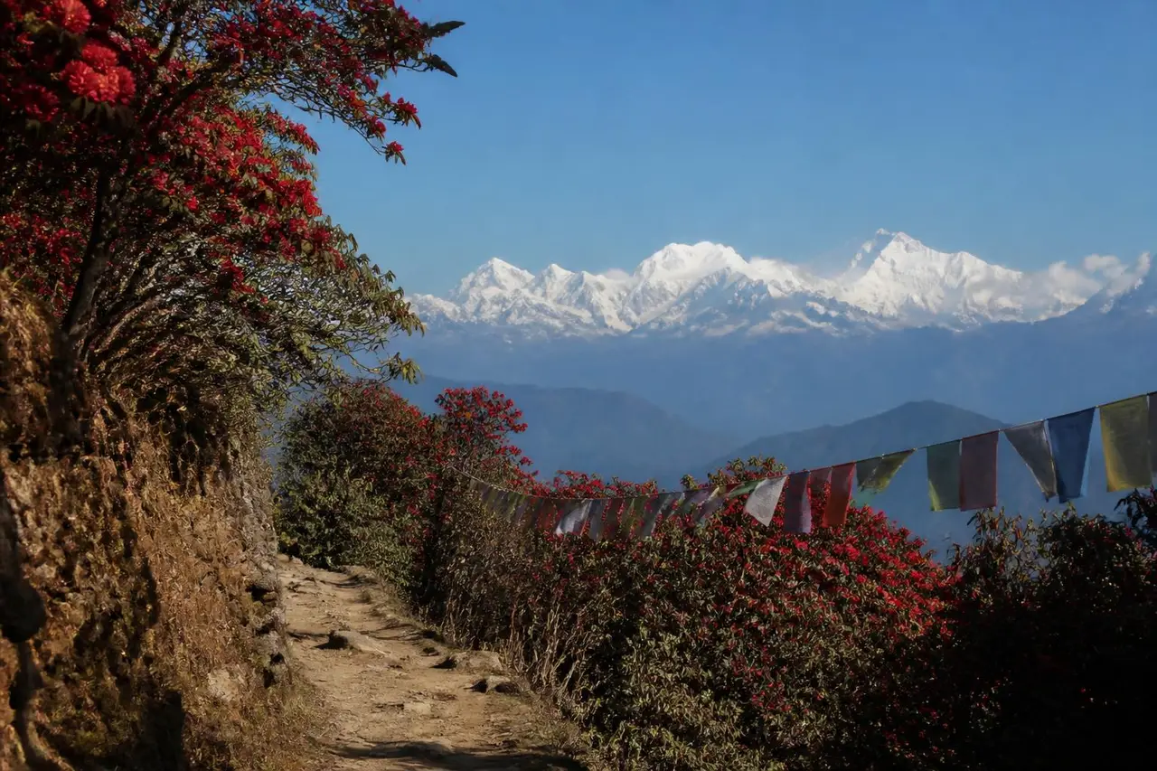
Walk the Indo-Nepal ridge to West Bengal's highest point with Everest, Lhotse, Makalu and Kanchenjunga on one horizon.

Manebhanjan, Darjeeling, West Bengal
A medium-grade Himalayan route from Manebhanjan, Darjeeling, catalogued from state tourism and community trail directories.
Distance
15 km
Duration
12 hours
Elevation gain
1110 m
Max altitude
4038 m
Trail type
Loop
Best season
October–December, March–May
Sustained uphill walking for several hours with uneven sections, but no technical climbing or ropes.
Fitness needed
Walk 5 km in about 45 minutes; happy with 4–6 hours on your feet
Technical exposure
Moderate — some narrow or loose sections
Terrain
Forest path, meadow and rocky moraine; snow outside summer
Recommended start: 5:30–7:00 am so you are down before evening weather
Government and forest sources take priority for permits, closures and legal access. Recent hiker reports supplement them with on-ground conditions.
Verified trailhead
Multiple Recent HikersManebhanjan, Darjeeling — confirm the exact trailhead locally before you start
West Bengal Forest Department·Government·Checked 2026-03-12Source
Current status
Multiple Recent HikersRestricted — Entry is controlled. You need permission from the local forest or district office.
West Bengal Forest Department·Government·Checked 2026-03-12Source
Permits & fees
Multiple Recent HikersForest entry permit issued at the range check post; carry photo ID. Foreign nationals may need extra clearance.
West Bengal Forest Department·Government·Checked 2026-03-12Source
Guide requirement
Multiple Recent HikersOptional, but useful in the first hour where paths branch.
West Bengal Forest Department·Government·Checked 2026-03-12Source
Driving
Drive to Manebhanjan, Darjeeling and park at the last motorable point near the trailhead.
Public transport
State buses and shared taxis reach Manebhanjan; the last leg is usually a local jeep.
Parking
Informal roadside or village parking; small fee common on weekends.
Mobile coverage
Patchy — usually lost above the last village
Water
Carry all your water; no reliable source
Food
Tea stalls at the base only
Toilets
None on route
Family suitability
Not for children
Pets
Pets not allowed
No condition reports yet. Be the first to file one.
No reviews yet for this trail.
Manebhanjan, Darjeeling, West Bengal
Walk the Indo-Nepal ridge to West Bengal's highest point with Everest, Lhotse, Makalu and Kanchenjunga on one horizon.
Darjeeling, West Bengal
A medium-grade Himalayan route from Darjeeling, catalogued from state tourism and community trail directories.