Open
Kedarkantha Trek
Sankri, Uttarkashi, Uttarakhand
Medium 20 km 4 days4.7(1284)
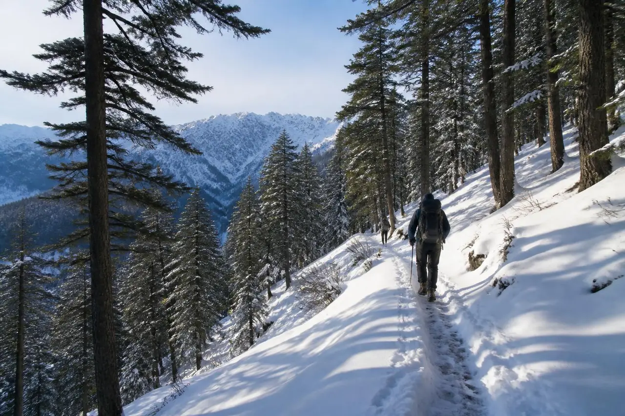
India's most popular winter summit trek — deep pine forest, open clearings and a short snow summit push with 360° Himalayan views.

Pantwari, Tehri Garhwal, Uttarakhand
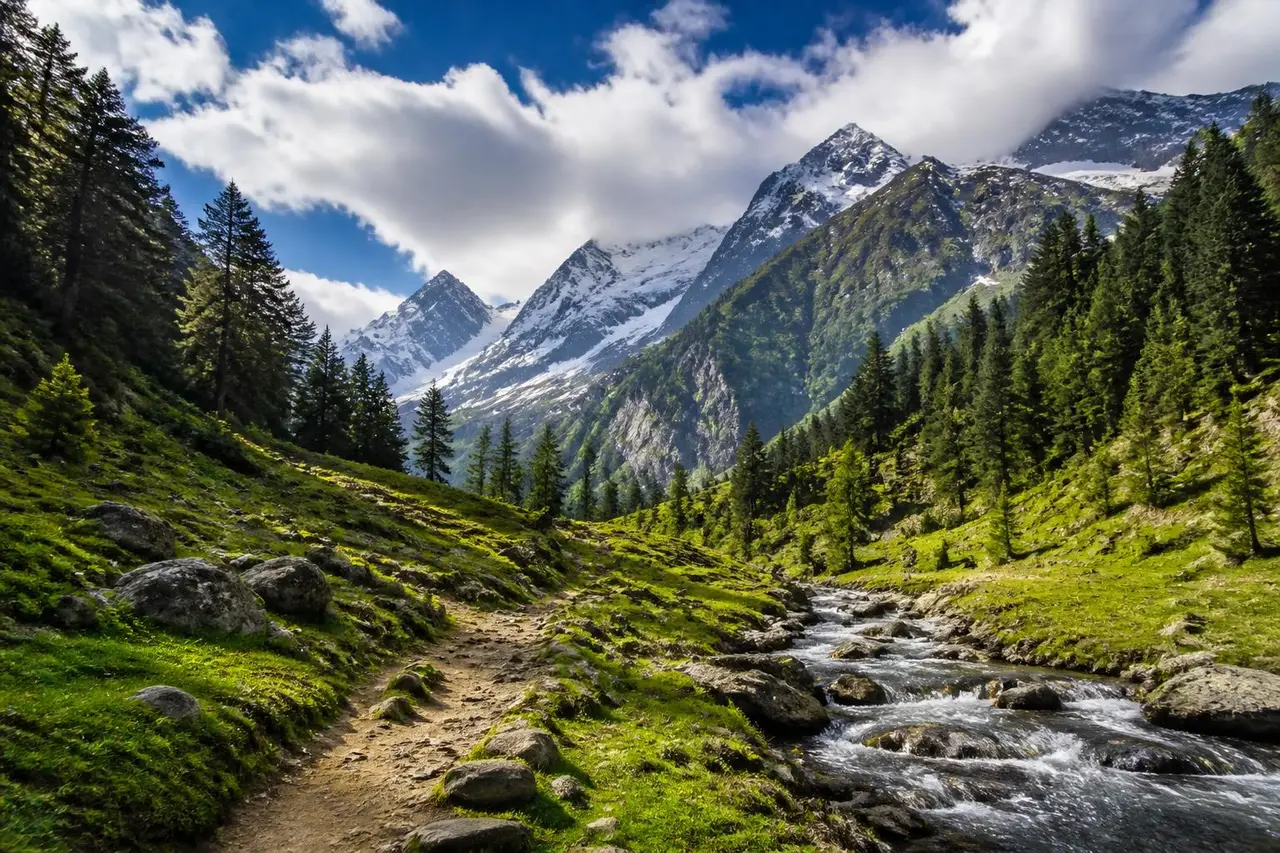
A novice-grade Himalayan route from Pantwari, Tehri Garhwal, catalogued from state tourism and community trail directories.
Distance
9 km
Duration
4 hours
Elevation gain
183 m
Max altitude
2208 m
Trail type
Out & back
Best season
March–June, September–November
Short and mostly gentle. Expect a steady walk on a clear path with a few uphill stretches you can take at your own pace.
Fitness needed
Comfortable walking 3–5 km without a break
Technical exposure
Low — no scrambling or drop-offs on the main path
Terrain
Forest path, meadow and rocky moraine; snow outside summer
Recommended start: 6:30–8:00 am to avoid midday heat
Government and forest sources take priority for permits, closures and legal access. Recent hiker reports supplement them with on-ground conditions.
Verified trailhead
UnverifiedPantwari, Tehri Garhwal — confirm the exact trailhead locally before you start
Uttarakhand Tourism Development Board·Community·Checked 2026-04-11Source
Current status
UnverifiedOpen — No closure notified at the last check. Conditions change fast — read recent reports below.
Uttarakhand Tourism Development Board·Community·Checked 2026-04-11Source
Permits & fees
UnverifiedForest entry permit issued at the range check post; carry photo ID. Foreign nationals may need extra clearance.
Uttarakhand Tourism Development Board·Community·Checked 2026-04-11Source
Guide requirement
UnverifiedOptional, but useful in the first hour where paths branch.
Uttarakhand Tourism Development Board·Community·Checked 2026-04-11Source
Driving
Drive to Pantwari, Tehri Garhwal and park at the last motorable point near the trailhead.
Public transport
State buses and shared taxis reach Pantwari; the last leg is usually a local jeep.
Parking
Informal roadside or village parking; small fee common on weekends.
Mobile coverage
Patchy — usually lost above the last village
Water
Carry all your water; no reliable source
Food
Nothing on route — carry your own
Toilets
None on route
Family suitability
Not for children
Pets
Pets not allowed
No condition reports yet. Be the first to file one.
No reviews yet for this trail.
Sankri, Uttarkashi, Uttarakhand
India's most popular winter summit trek — deep pine forest, open clearings and a short snow summit push with 360° Himalayan views.
Pantwari, Tehri Garhwal, Uttarakhand
The classic weekend first-timer trek from Dehradun — forest path, a grassy summit and Bandarpoonch on the skyline.
Sari village, Rudraprayag, Uttarakhand
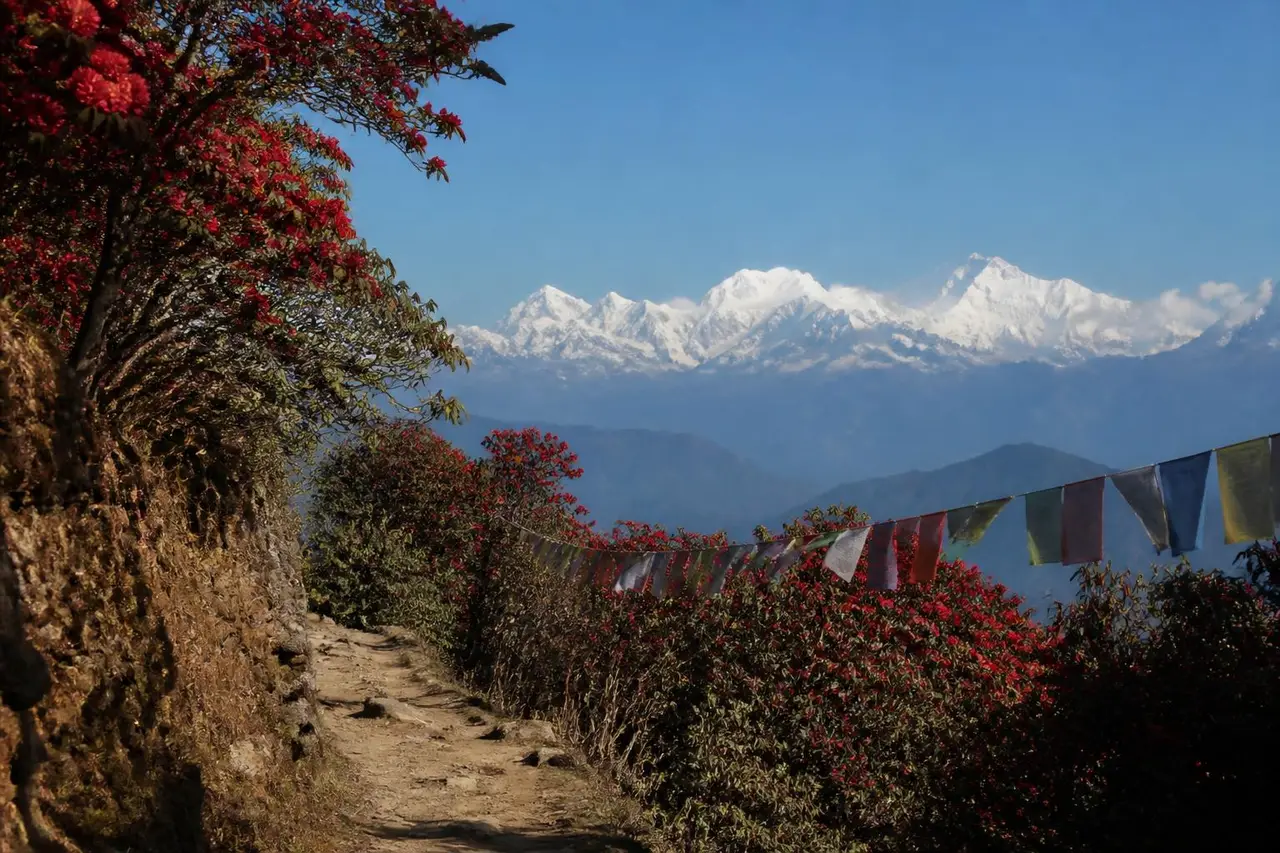
A short paved climb to a still lake that mirrors Chaukhamba — the gentlest first Himalayan camp you can do.